Bing Maps Adds 165TB Of New Imagery And Completes 100% Of Aerial Imagery Of US
![]() 1 min. read
1 min. read
![]() Published on
Published on
Share this article
Improve this guide
Read our disclosure page to find out how can you help MSPoweruser sustain the editorial team Read more
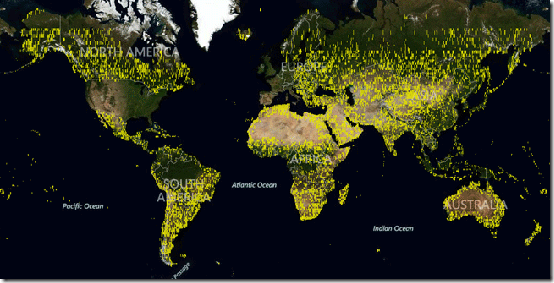
Today Bing Maps team announced a significant release of new Aerial and Satellite imagery for Bing Maps. The total new imagery is 165 terabytes which is more than the existing whole Aerial footprint of 129 terabytes total. New maps imagery includes North America, South America, Africa, Australia, Europe and Asia. Also Bing Imagery completed 100% of aerial photography over the United States and the same for Europe to be completed and published by this year end. The same imagery is also powering our Bing Maps on Windows Phone devices, so expect these new imagery on your devices. Over the years, Bing Maps has now emerged as one of the best Mapping solutions available right now. If you have not tried Bing Maps yet, try it once. Its pretty amazing.
Source: Bing


User forum
0 messages