Green Lines on Google Maps: What Do They Mean?
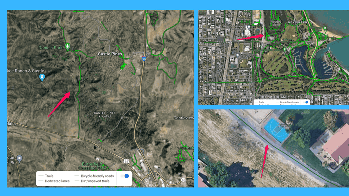
Green lines on Google Maps represent bike trails, paved and unpaved roads, and traffic conditions.
Understanding their different types lets you navigate the map more easily. To help you out with that I’ve put together a nice, detailed guide:
Types of Green Lines on Google Maps and What They Mean
Let’s explore the different types of green lines on Google Maps in more detail:
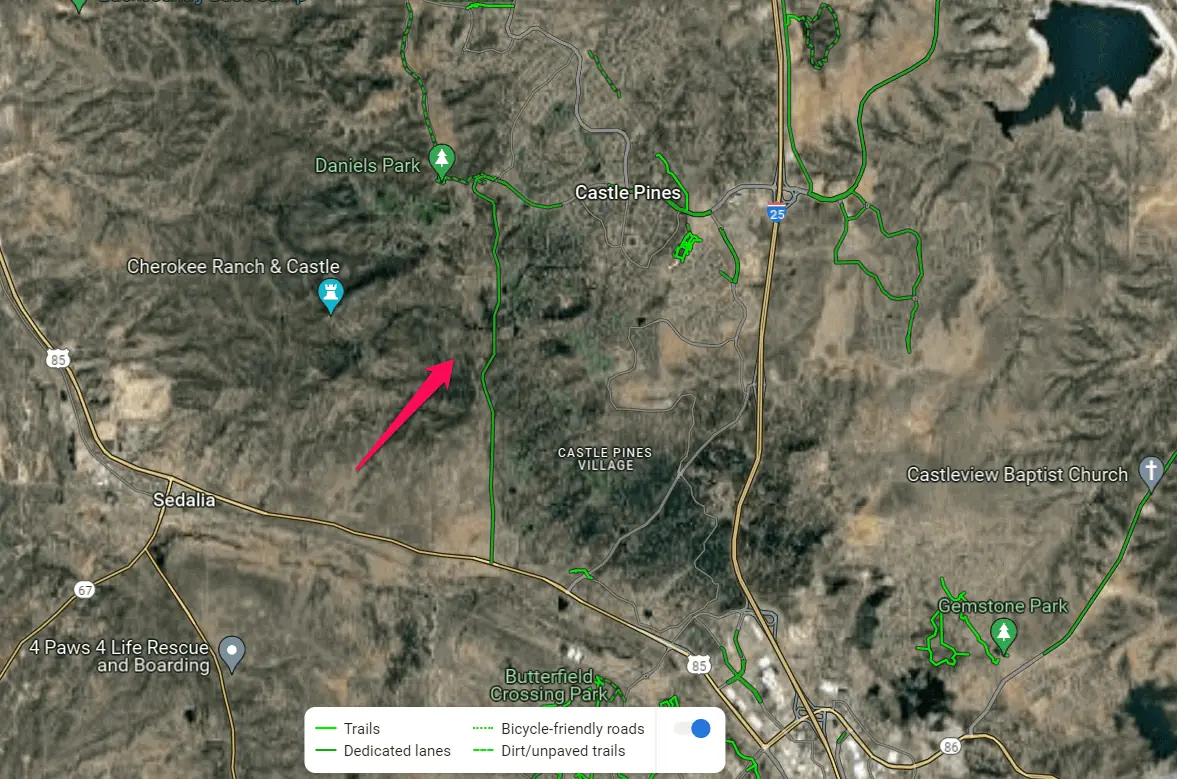
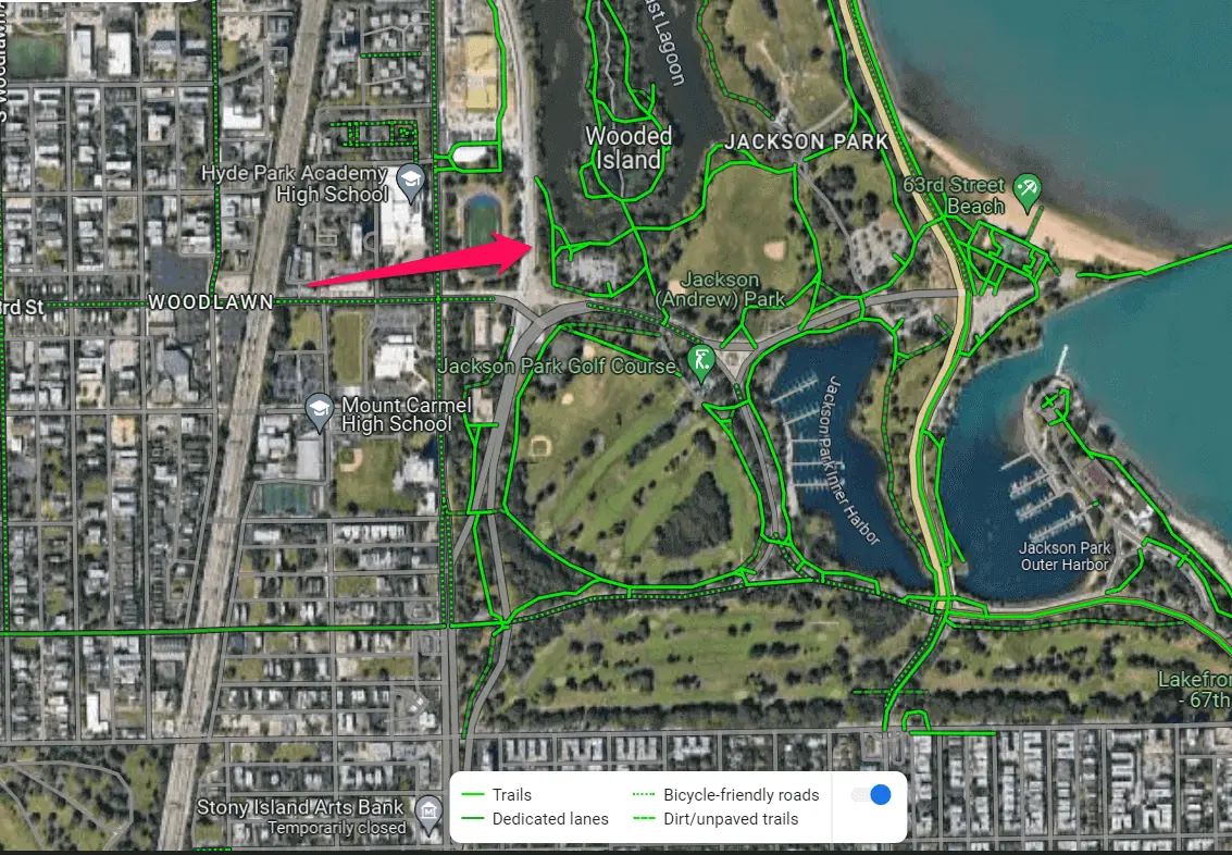
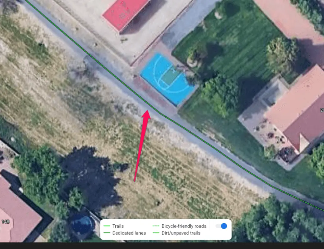
- Dark Green Lines: Dark green indicates dedicated bike paths or trails. These are exclusively for cyclists, providing routes away from motor vehicle traffic. You’ll usually see them in parks, nature reserves, and green spaces.
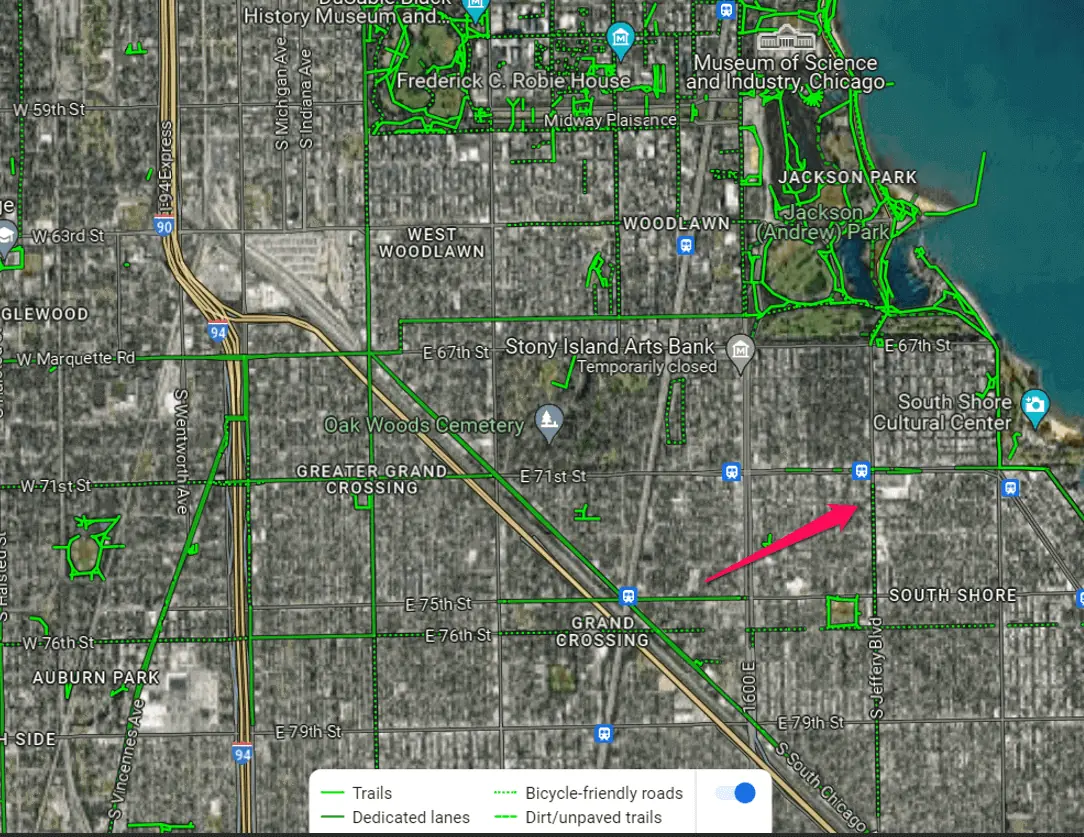
- Solid Green Lines: These lines represent bike lanes or bike-friendly roads. Such lanes are designated spaces for cyclists alongside motor vehicle traffic, demarcated by painted markings or physical barriers. Solid green lines often appear on urban streets with moderate to low traffic volumes.
- Dotted Green Lines: Dotted green lines signify shared bike paths or multi-use trails. These paths accommodate cyclists and pedestrians and are common in parks, waterfronts, and scenic areas.
- Dashed Green Lines: Dashed green lines are unpaved, off-road paths where bicycling is allowed. You’ll usually find them on a city’s outskirts or in smaller towns and villages.
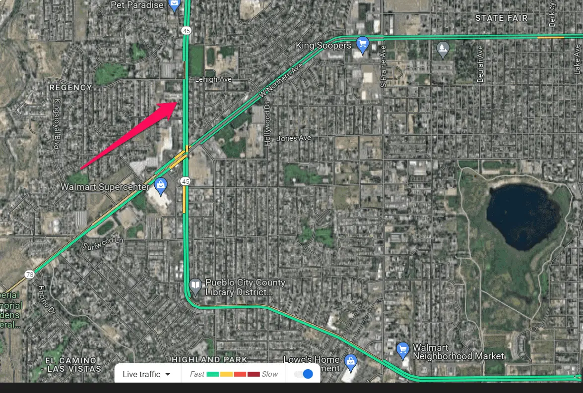
- Green Lines for Traffic: In addition to biking, walking, and recreational paths, green lines on Google Maps also provide insights into real-time traffic conditions. These dynamic green lines indicate traffic flow and low congestion levels on roads and highways.
Lastly, green lines on Google Maps appear in the traffic and bicycling layers. To explore their different types, make sure to turn on the appropriate layer.
Was this guide helpful? Let me know in the comments!
Read our disclosure page to find out how can you help MSPoweruser sustain the editorial team Read more


User forum
0 messages