How to Make Google Maps Show Property Lines [Easy Guide]
Google Maps is a great navigation tool, but it doesn’t show property lines clearly.
This short guide will help you find any property’s boundaries while using Google Maps.
Here’s how:
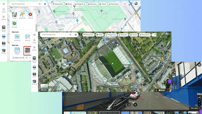
1. Use Satellite View
Satellite View can help you get an idea of a property’s boundaries. Here’s how to use it:
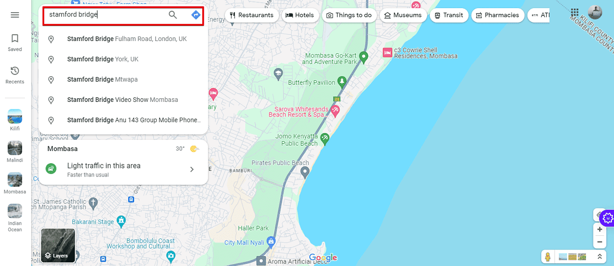
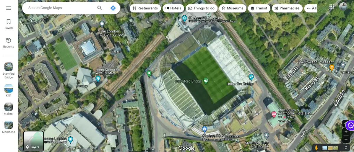
- Start by visiting Google Maps.
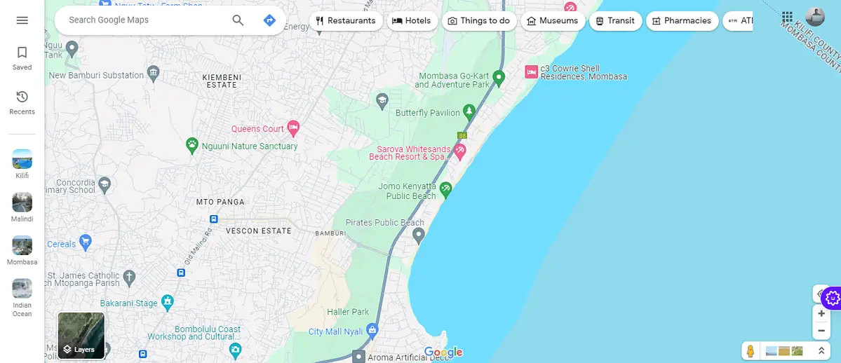
- Enter the property address: Type the address or the name of the property you’re interested in into the search bar and press Enter.
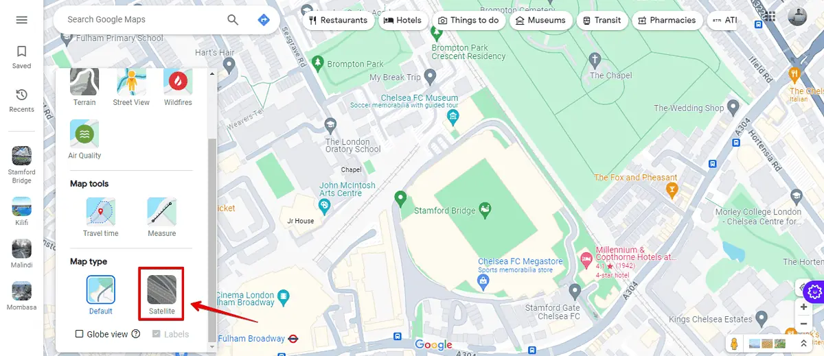
- Switch to Satellite View: On the bottom left of the screen, click on the Satellite View option. This gives you an aerial view of the property and its surroundings.
- Look for physical markers: Examine the satellite images for fences, hedges, or other markers that might indicate property boundaries.
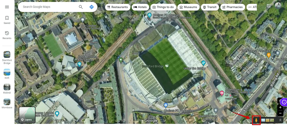
- Use Street View: Drag the little yellow man icon (found on the bottom right) to a street near the property.
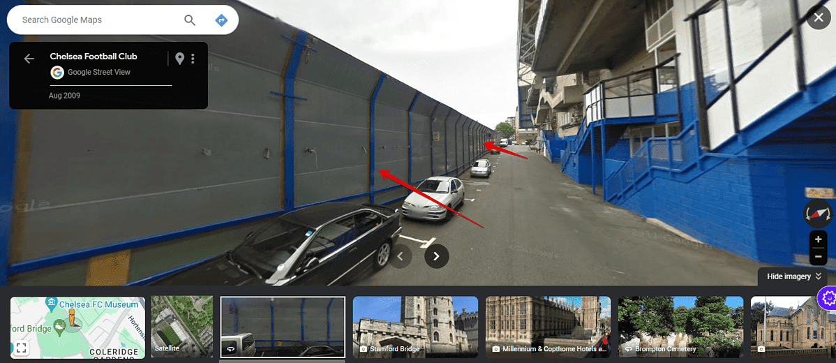
- Navigate to see if there are visible signs of property boundaries like fences or distinct changes in landscaping.
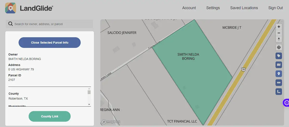
2. Use Third-Party Websites
Websites like LandGlide provide detailed property line information. These platforms use Google Maps API to overlay property lines onto the map.
Follow the below steps to use LandGlide:
- Create an account with LandGlide and open it on your browser. You can also download the app and launch it on your device.
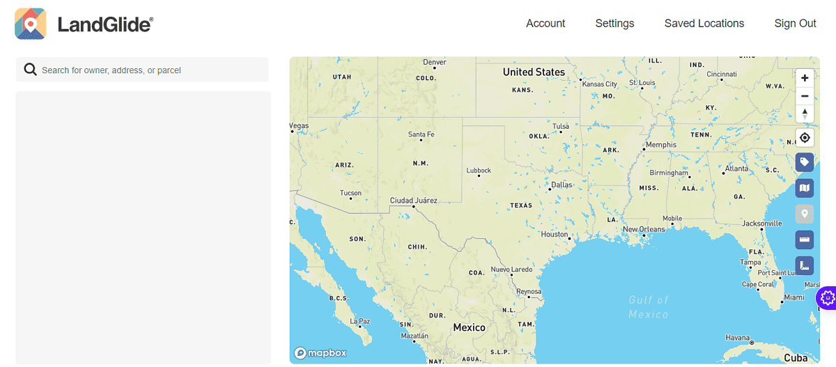
- Go to the search button and add the property owner’s name, address, or parcel.
- The tool will use the data to automatically generate the property lines.
Know the Boundaries
While Google Maps offers a convenient starting point for exploring property boundaries, it’s not designed to show legal property lines.
However, in combination with other tools like LandGlide, it can give you a clear enough idea of where a property starts and ends.
Read our disclosure page to find out how can you help MSPoweruser sustain the editorial team Read more


Improve this guide


User forum
0 messages