How to Calculate Miles Per State on Google Maps [Step-by-Step]
![]() 2 min. read
2 min. read
![]() Published on
Published on
Share this article
Improve this guide
Readers help support MSpoweruser. We may get a commission if you buy through our links.

Read our disclosure page to find out how can you help MSPoweruser sustain the editorial team Read more
Looking for a way to calculate how many miles you’ll be driving per state on Google Maps?
I did the research to give you an easy step-by-step guide. Simply follow along:
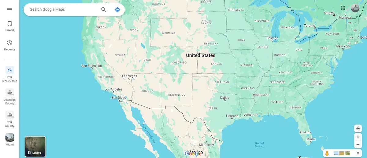
- Open Google Maps. I’ll use the browser version for this example.
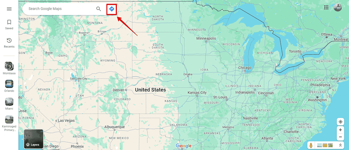
- Tap on the direction button to choose a starting point.
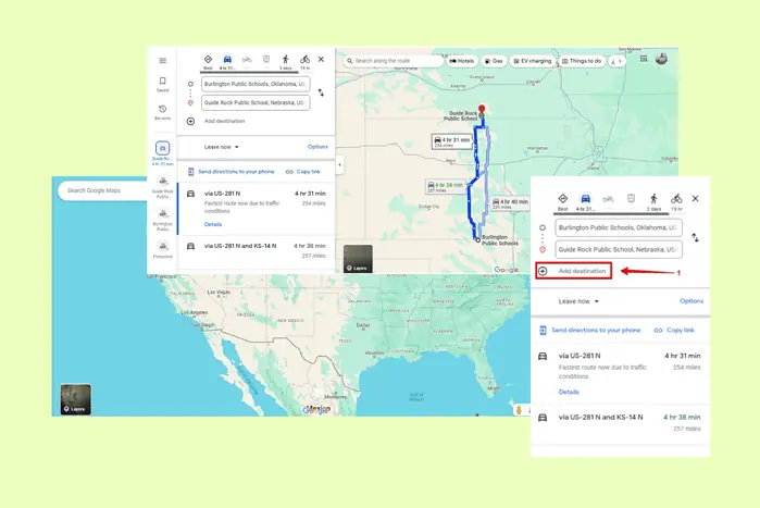
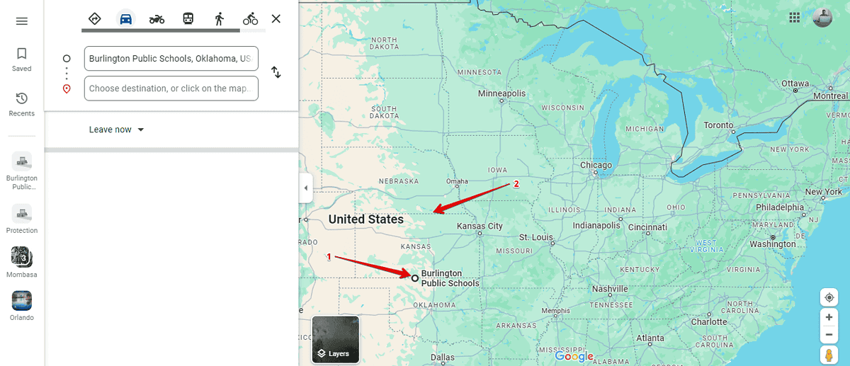
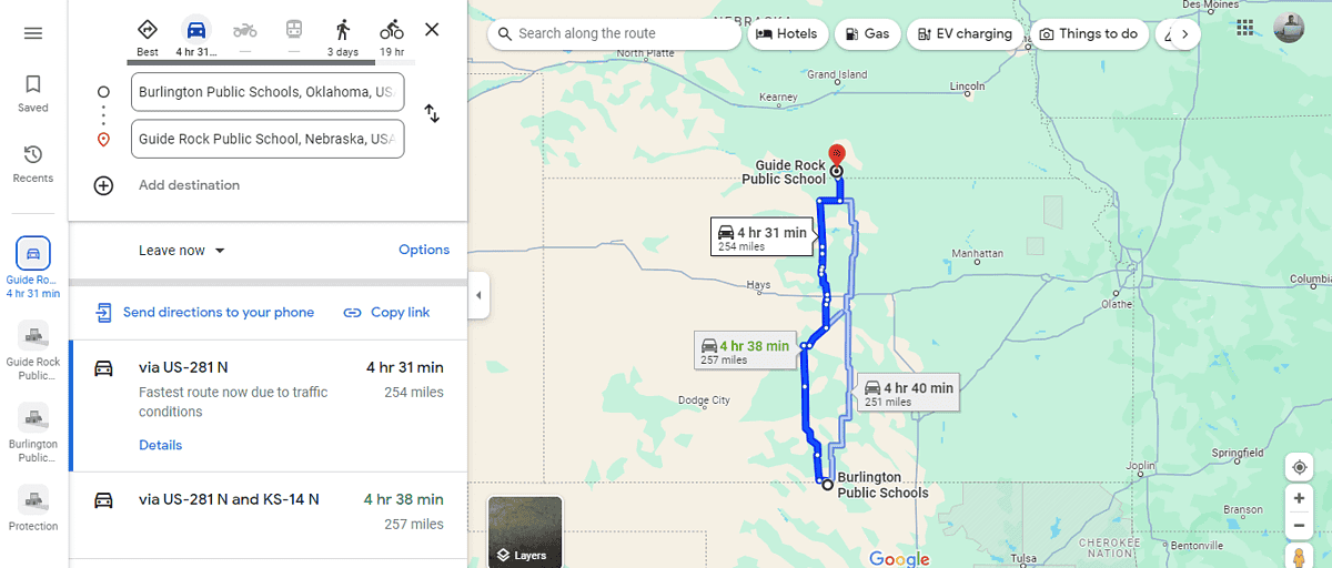
- Select one end of a state as your starting point and the other end as your destination.
- Google Maps will calculate the total miles depending on the route you’ll use across the state. From the recommended route, it’s 257 miles to cross Kansas.
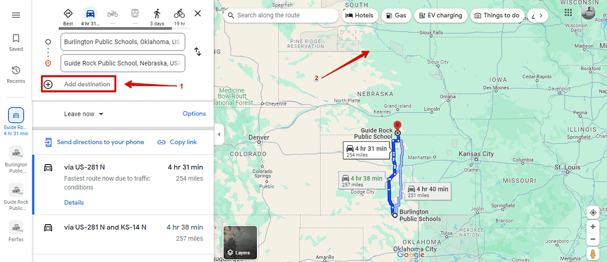
- Now, tap Add destination then click on the next state border.
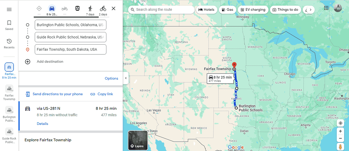
- You’ll get the total distance from your starting point – Kansas and Nebraska totaling 477 miles. To get Nebraska’s miles, subtract the Kansas distance (257) from the total (477) and you’ll be left with 220 miles for Nebraska.
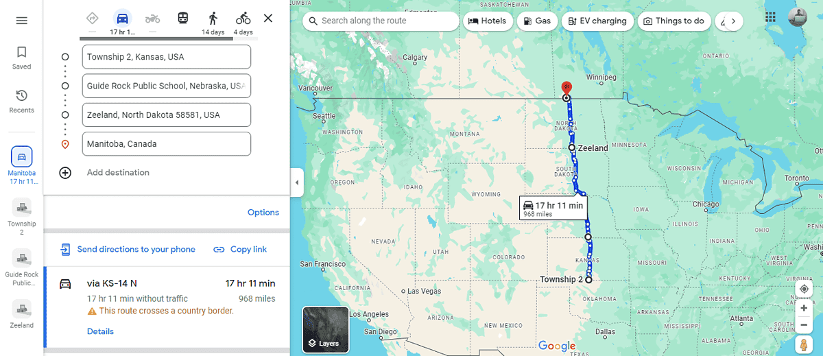
- Before adding a new stop, note down the total mileage from your starting point. After adding each state line stop, subtract the previous total from the new total to get the miles covered in that state.
That’s all there is to it!
Calculating miles per state with Google Maps requires a bit of manual effort but is quite manageable with the right approach. Was this guide helpful? Let me know in the comments!


User forum
0 messages