Bing Maps gets precise distance calculator, parking finder, and gas price search features
2 min. read
Published on
Read our disclosure page to find out how can you help MSPoweruser sustain the editorial team Read more

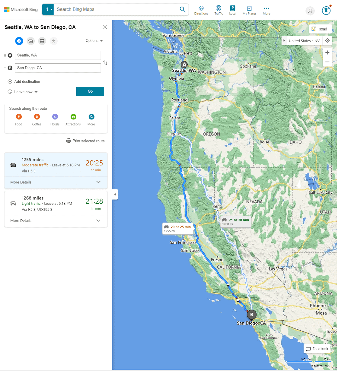
Microsoft announced new improvements on its Bing Maps by adding the Distance Calculator, Parking Finder Map, and Gas Prices Map apps. The same features are already present on Google Maps, but the new apps on Bing Maps will offer better performance due to their precision.
The new apps’ functions are self-explanatory and implied by their names. But what makes them interesting is the information they can provide and their distance calculations. According to Microsoft, it is all possible through the Isochrone API and Bing Maps API’s location intelligence. The latter uses geolocation that allows Parking Finder Map and Gas Prices Map apps to provide useful location information to users (e.g., address, hours, phone numbers, parking lot type, payment type, gas prices within a 5-mile radius, and more). Isochrone API, on the other hand, makes calculations based on the specified time and traveler’s mode of transportation. Unlike other map apps, Bing Maps will use Isochrone polygones instead of a distance circle. Microsoft says it will reduce the area search of the app and will show results according to real-world experience users would have to do to get to a specific location.
“Think of any major city that has a river running through it,” Microsoft explains. “Places on the far side of the river are physically close but are actually harder to get to as you need to find a bridge to cross and isochrones take this into account. For this reason, isochrones completely change the way we think about calculating distances and travel times from point A to B. In fact, the Bing Maps Isochrone API also supports multiple stops if you’re planning a longer journey or expect to use multiple transit routes. This is achieved with the use of isoline polygons that can quickly visualize the distance you can travel in a given time, or vice versa.”
With this precision ability, users can get the best travel distance calculations and suggestions, which are helpful when they are in a rush, such as when finding nearby gas stations while they are low on gas. Even better, there are supports for different modes of transportation, like walking, car, and public transportation. This means the results will vary for the specific needs of users.









User forum
0 messages