Power BI receives the Esri New Technology Integration Award for 2017
At Ignite conference last year, Microsoft announced ArcGIS Maps for Power BI created by Esri. ArcGIS geo-enables Microsoft Power BI with the world’s leading spatial analytics. ArcGIS Maps for Power BI offers enhanced mapping capability, demographic data, and even more compelling map visualizations and you can even create heat maps with a click.
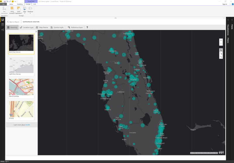
ArcGIS Maps for Power BI will automatically show shapes if you bind state names, or points if you bind latitude and longitude values. In addition, you can easily apply heat maps to spot the intensity of points in a geographic area, or a cluster map that shows the number of data points in a specific area.
Microsoft Power BI team yesterday announced that they have received the 2017 Esri Partner Conference (EPC) – New Technology Integration award for taking map visualization and geo-analytics to the next level by integrating ArcGIS in a new or innovative way.
“We’re pleased to recognize the achievements of the Power BI team for their innovative collaboration on ArcGIS Maps for Power BI. This is a real testament to how the ArcGIS platform can be leveraged beyond the traditional GIS community to empower business users with accurate and compelling organizational mapping technologies. This helps users make better decisions, faster.” – Art Haddad, Director, Location Analytics, Esri.
Learn more about ArcGIS Maps for Power BI here.
Read our disclosure page to find out how can you help MSPoweruser sustain the editorial team Read more


Improve this guide

User forum
0 messages