Google Maps Legend: Discover Layers, Routes, and More
Understanding the Google Maps Legend is key if you want to master this navigation tool.
In this guide, I’ll walk you through everything you need to know about it so you can make the most out of your mapping experience.
What Is the Google Maps Legend?
The Google Maps Legend explains the various symbols, colors, and icons used on the map. It helps users interpret the map’s features accurately.
This navigational tool lets you obtain the information about:
- Map layers
- Transportation modes
- Points of interest.
Below, I’ll explore these options in more detail.
How To Use the Google Maps Legend
Our first stop is accessing the Google Maps Legend. To do that, open the app or visit it on your web browser.
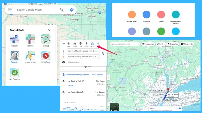
To see all the options mentioned above, you need to click or hover over the Layers icon.
The legend displays an array of symbols and colors along with their corresponding meanings. These may include icons representing landmarks, transportation modes, and geographic features, as well as colors indicating traffic conditions and map layers.
Here are three ways to get valuable insights from this legend:
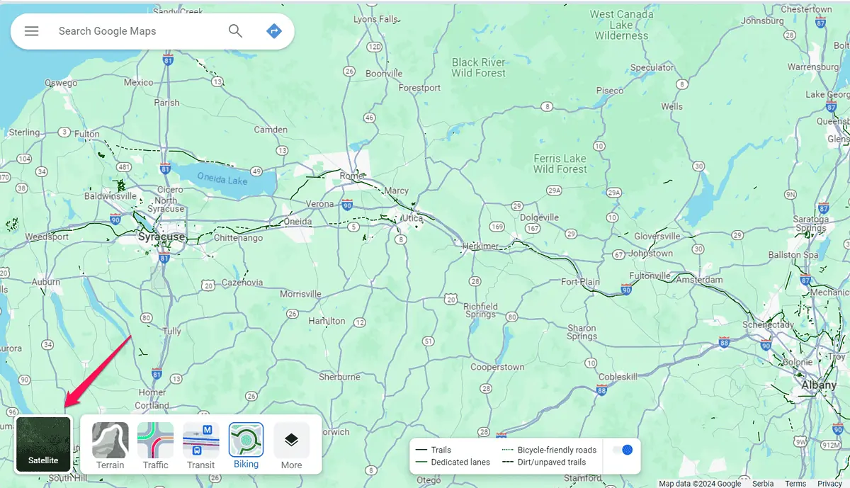
- Map Layers: Common layers include satellite, terrain, and traffic view. The legend provides insights into each layer’s purpose and how it impacts the map display. For instance, the traffic layer is a color-coded bar showing how busy the traffic is in a specific area.
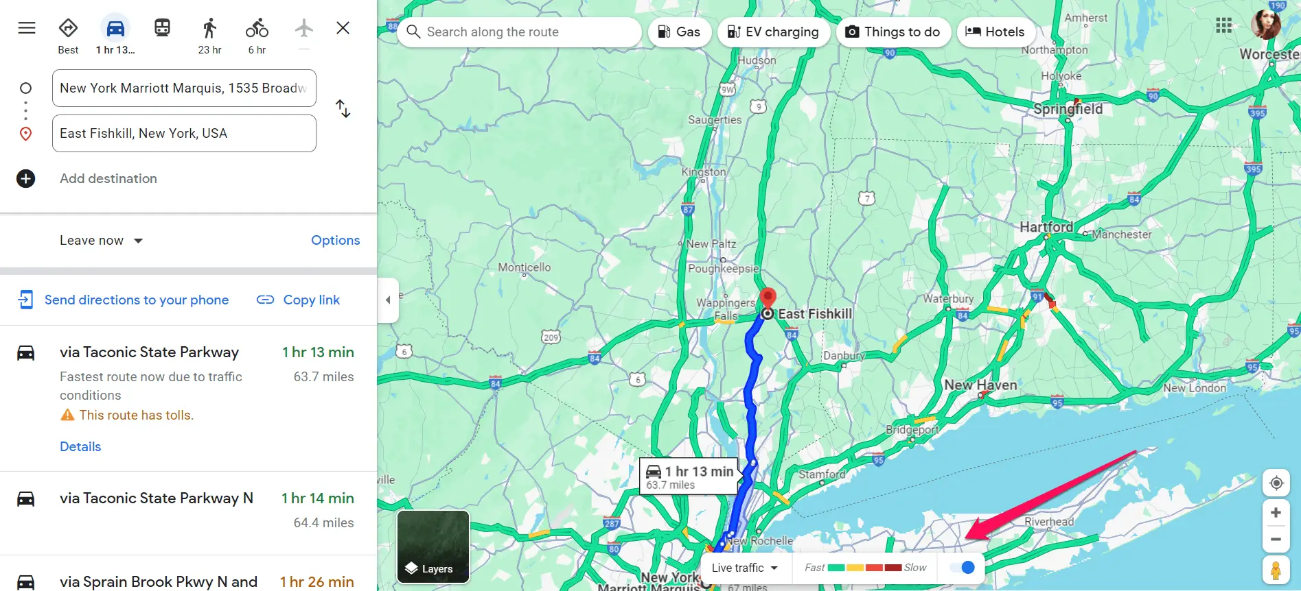
- Transportation Modes: Driving, walking, biking, and public transit, are represented by distinct symbols. The legend additionally clarifies these symbols so that users understand the available route options. To access them, you need to select your destination and preferred means of transportation.
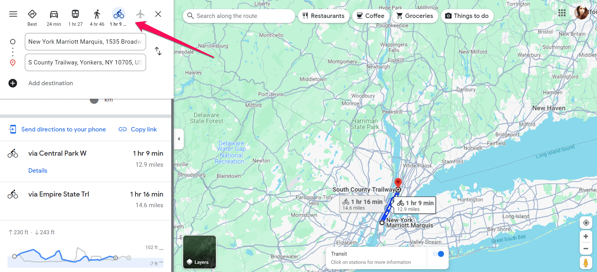
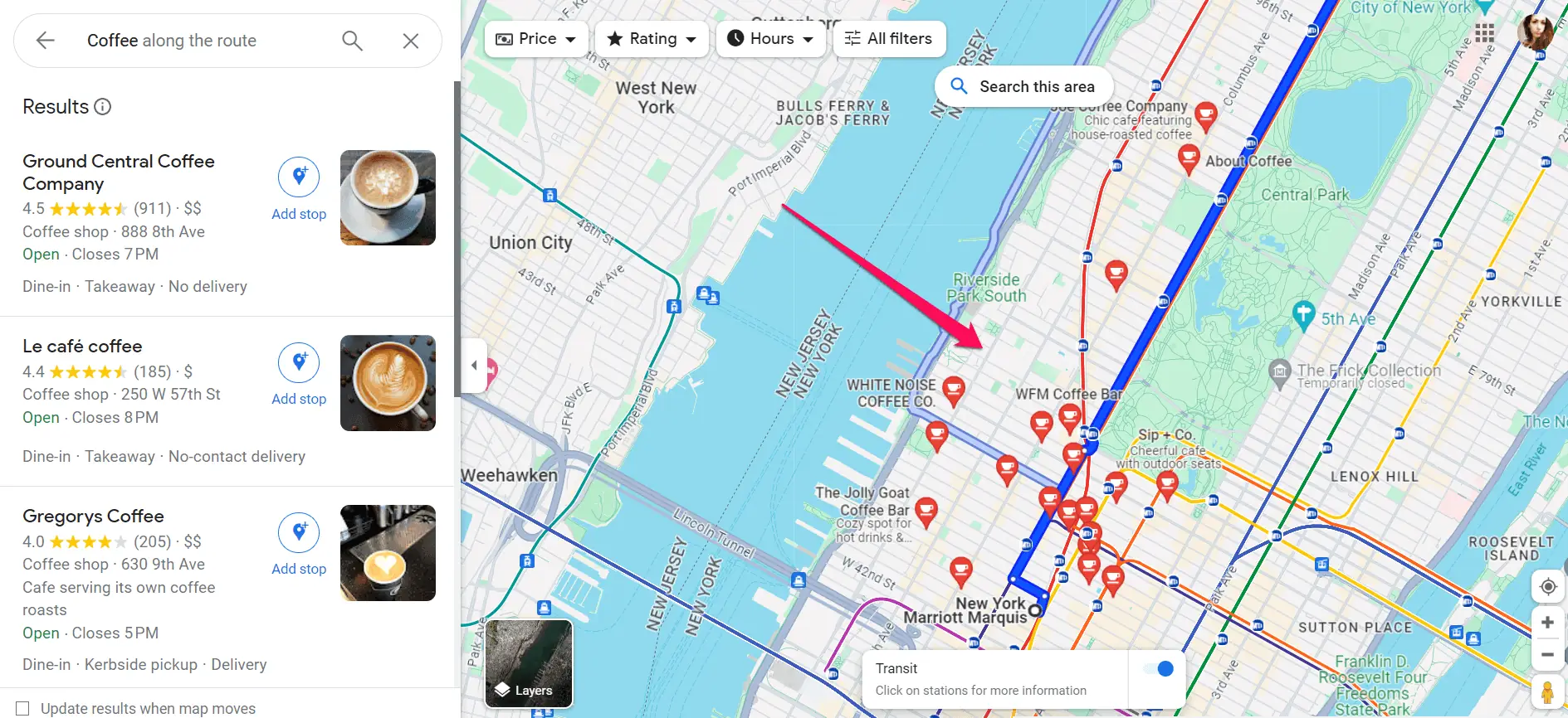
- Points of Interest: Unique icons often denote landmarks, businesses, and points of interest. Users can easily identify these points by referring to the legend and plan their journeys accordingly. The points of interest appear right after setting a route. You can then search places along the route or select one of the default places, e.g., coffee shops and restaurants.
By mastering the Google Maps Legend, you can interpret map features effectively, customize your mapping experience, and plan trips with ease.
Read our disclosure page to find out how can you help MSPoweruser sustain the editorial team Read more


Improve this guide


User forum
0 messages