How to Use Google Maps to Avoid Mountains [Easy Guide]
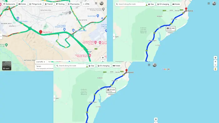
Google Maps doesn’t have a dedicated feature to avoid mountains, unlike tolls, ferries, and highways.
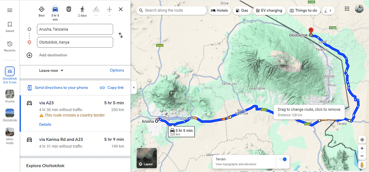
However, I found a workaround that might prove useful:
Use Terrain View
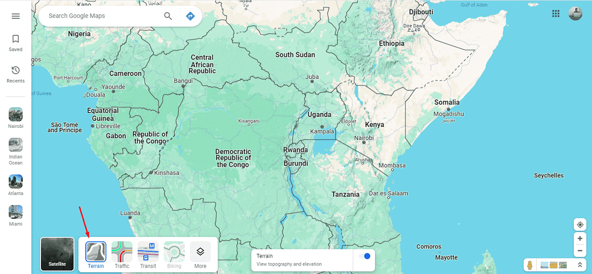
Using the Terrain View on Google Maps is an effective way to identify mountains. It clearly shows elevated areas so you can plan your route around them.
Here’s how to take advantage of this:
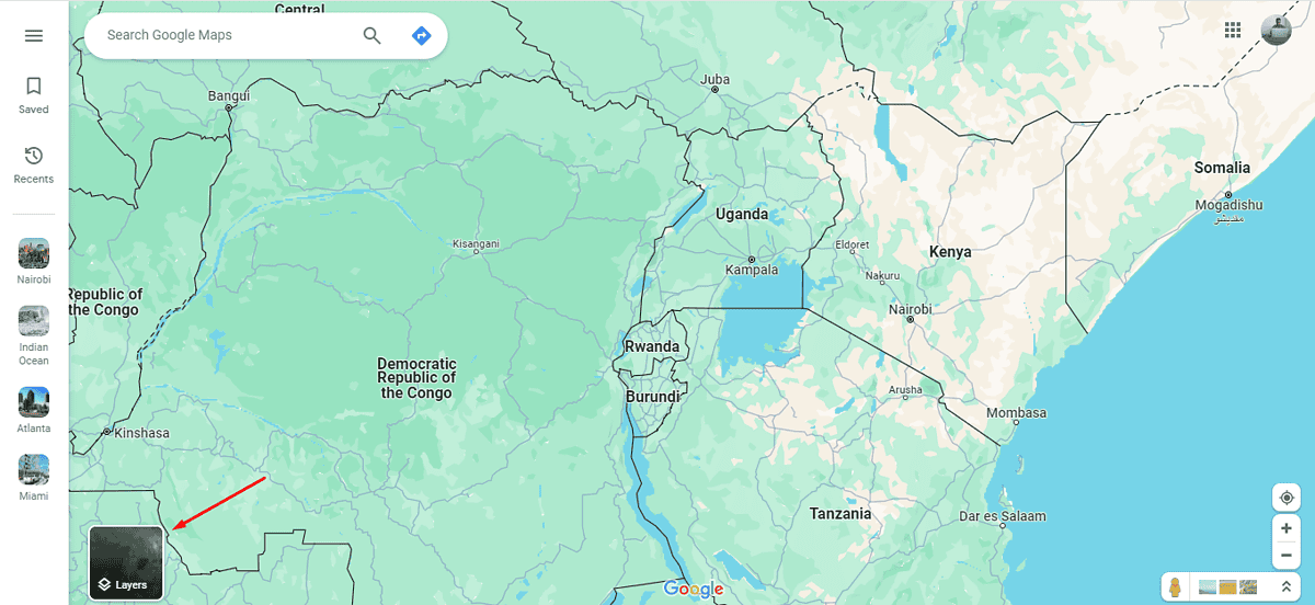
- Go to Google Maps and click the Layers button.
- Select Terrain then use the + icon on the bottom right to zoom in and identify elevations.
3. Use the information from the Terrain View to plot a path that avoids areas of high elevation and steep slopes.
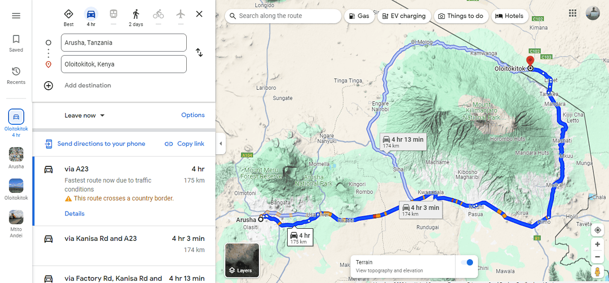
4. If Google Maps suggests a default route that goes through mountainous terrain, you can manually adjust the route by dragging the path to alternative roads.
So, now you know how to avoid mountains using Google Maps. Just follow the steps above and enjoy a smooth journey.
Read our disclosure page to find out how can you help MSPoweruser sustain the editorial team Read more
Improve this guide


User forum
0 messages